Course recon in the Alps with Alyssa Clark
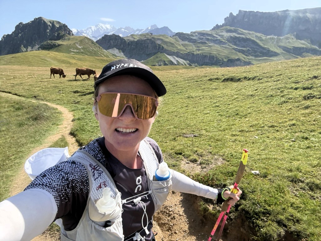
How do I get to the course from my apartment? How do I maximize my time on course recon within the scope of my training time? How do I navigate the lifts, bus, and train systems? These are just a few of the questions I have asked myself in the past few summers I have spent training in racing around the Mont Blanc massif.
UTMB (Ultra Trail Mont Blanc) along with its sister races, CCC (Courmayeur, Champex-Lac, Chamonix), OCC (Orsières, Champex-Lac, Chamonix), TDS (Traces des Ducs de Savoie), among several other races, becomes the focus for thousands of trail athletes and fans every August.
The Super Bowl of trail running finds many of us landing in the Chamonix valley, searching for ways to navigate the courses and learn the dance of the Alps. Marked by thousands of foot climbs and equally steep and long descents, there are few areas of the world that mimic the training demands of the Alps.
Preparing for TDS (Traces des Ducs de Savoie)
After two years of racing UTMB, I decided to take on the wild sibling, TDS, which travels in the reverse direction as all other races. Beginning in Courmayeur, Italy and moving clockwise back to Chamonix, France, the route covers approximately 150km (95 miles) and almost 32,000 ft (10,000m) of climbing and descending.
The full TDS course. View full route »
Part of the allure of TDS is the departure from the heavily trodden paths of the UTMB route onto less distinct and more technical trails. There is significantly less information on how to approach course recon with TDS, so one of my challenges was finding the shortest ways to maximize my time on the course without a car.
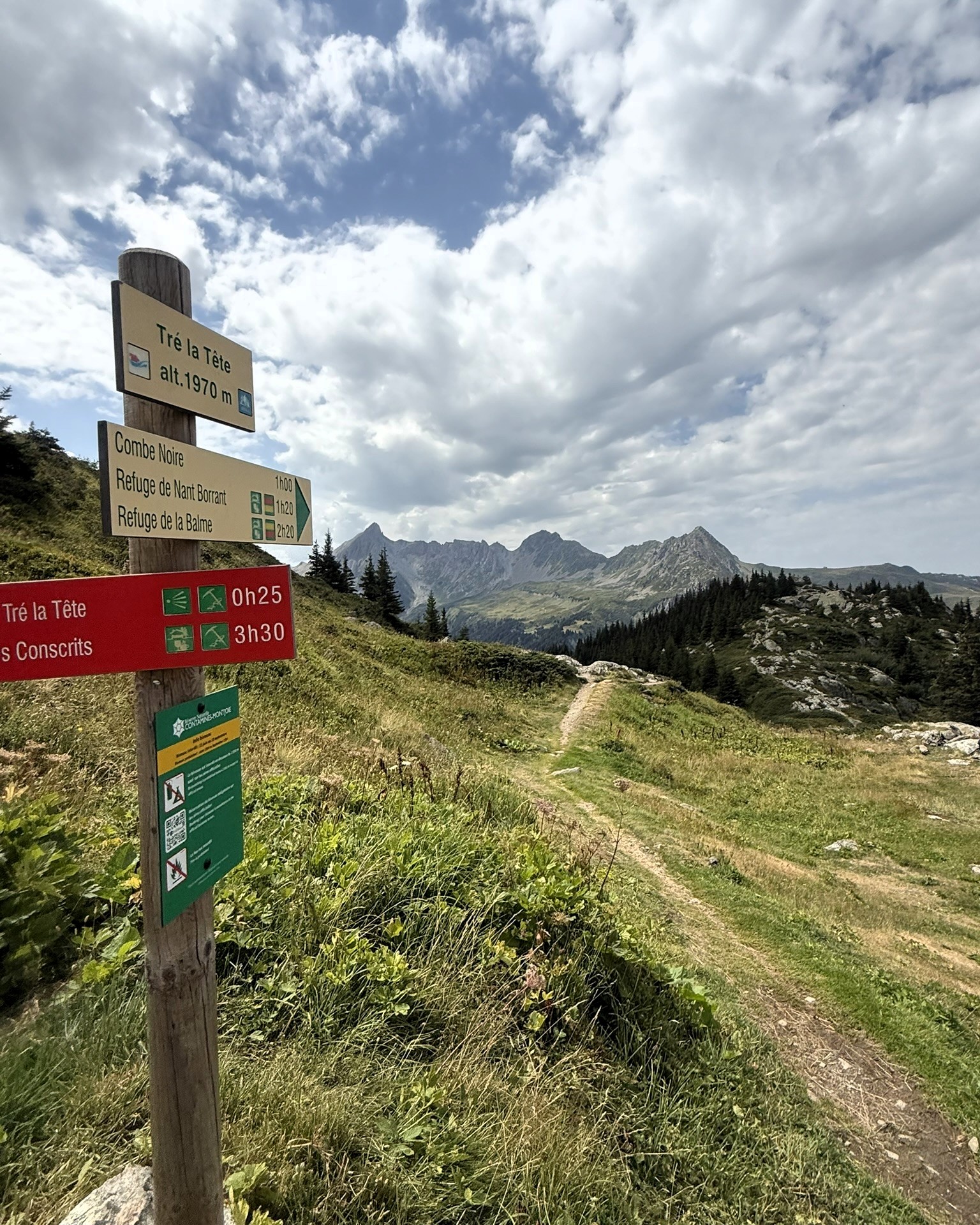
Day 1 - Col du Tricot
I based out of Contamines at the beginning of my training which is the last major aid station of TDS. I was able to narrow in on three distinct sections of the course using Footpath.
My first recon day I tackled the last significant climb of the race, a wall of zig-zagging trail up to Col du Tricot. I mapped out hitting as much of the final 20km, while sticking within my prescribed training time, and managed to make a neat loop back to my home in Contamines.
TDS’s Tricot Climb. View full route »
Day 2
The second major day of recon, I took an extremely conveniently placed gondola to the top of the major descent into Contamines and found a route to cut across a mountain pass and hit a 45km loop down into the town of Beaufort before climbing back up to the gondola. I was planning to save the downhill into Contamines for a later run, but missed the last lift down and was rewarded with bonus time on the course and a technical, spicy downhill.
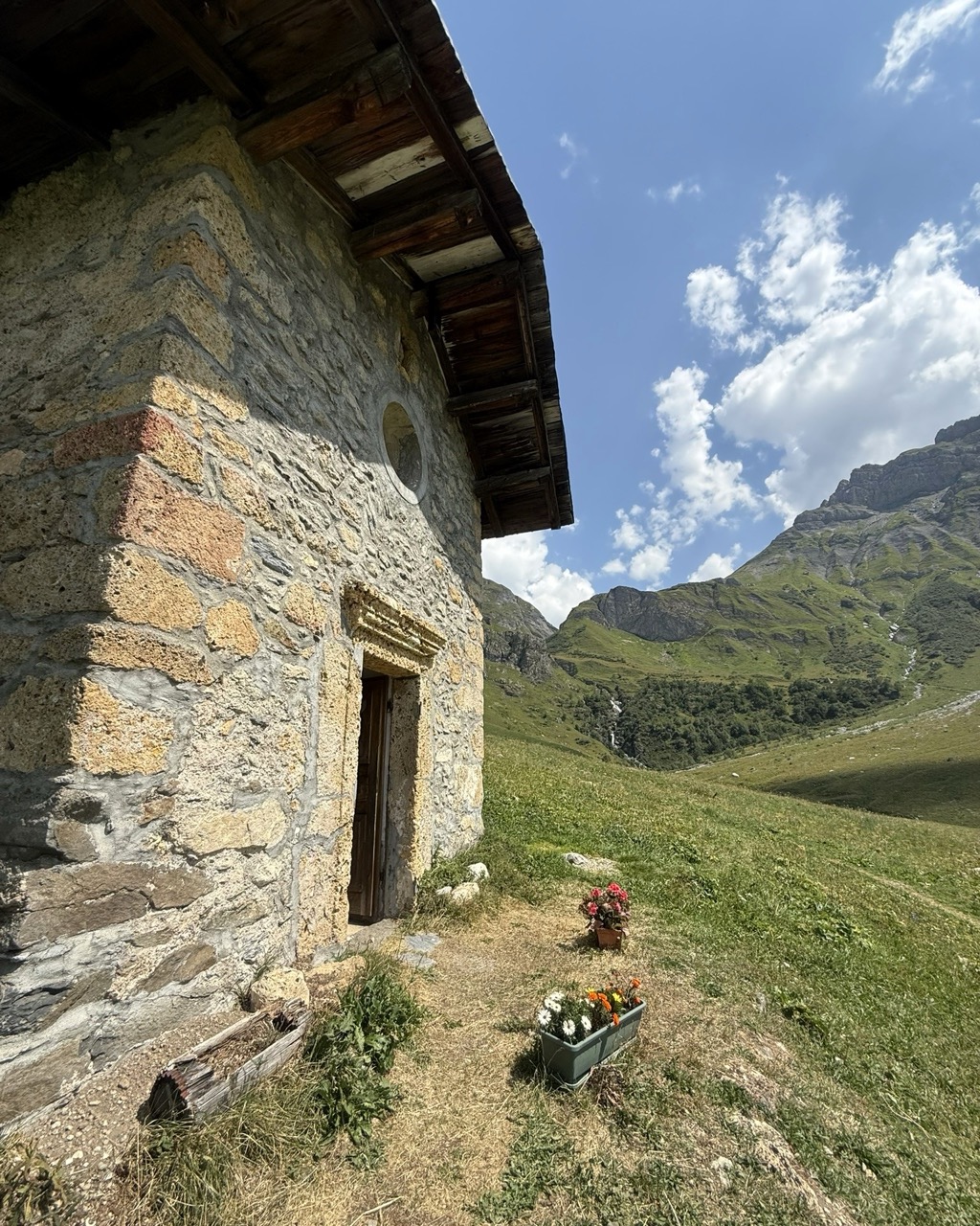
Day 3
My last day on course was the least efficient, but the best I could do without taking four-plus hours of buses and trains. Repeating the gondola ride and the pass-through I found on Footpath, I ran in the reverse direction on the course to a major road crossing and aid station, soaking in the jaw-dropping views of Mont Blanc. I then reversed and ran back in the direction I would race, tucking memories and places I planned to make moves into my pocket. Completing that run gave me about 45 miles of recon and the confidence of knowing the back half of the course quite intimately. On race day, knowing the terrain was a significant boost to my race plan and my ability to navigate and push when I needed to do so.
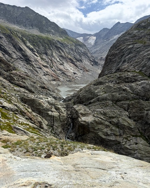
I rely heavily on Footpath to help me in the Alps, and it is my backup map for race day if I lose track of the course. Knowing the mileage, elevation profile and altitude is crucial to my race prep and success on race day.
Alyssa finished 3rd at TDS 2026 finishing the grueling 145km course in 22 hours and 54 minutes. Download Footpath and start preparing for your next race today!