How to be an elite pacer using Footpath
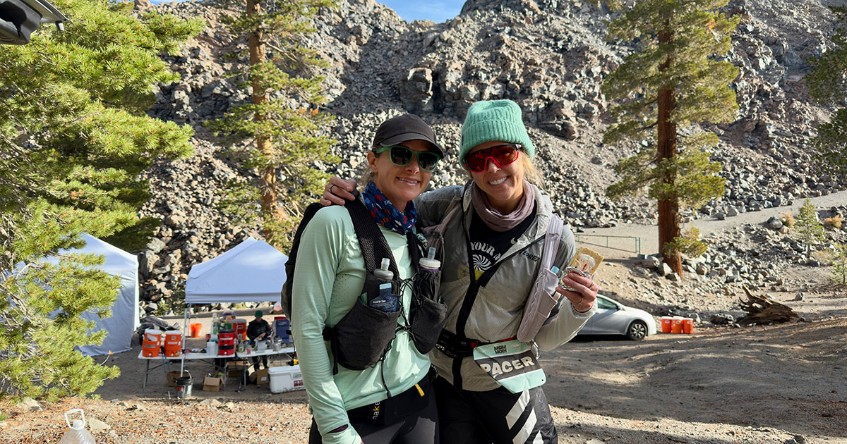
Pacing an ultrarunner isn’t just about running beside them. Honestly, you’re rarely beside them. You’re usually a few steps ahead, a few steps behind, or setting a two-minute timer while they take a dirt nap in a pile of leaves. It’s about being their calm, confident navigator when the miles blur together, aid stations feel endless, and trail markers seem to disappear.
Whether you’re guiding a friend through the night or helping an elite athlete chase a podium, your job as a pacer is to anticipate needs, stay on course, and keep spirits high. Sure, runners know it’s ultimately their responsibility to stay on route, but when the brain’s running on gels and grit, “autopilot” becomes a real thing. And no one wants to be the pacer who accidentally adds an extra half mile to a hundred. In that moment, your runner might look at you like you’ve just snapped their trekking pole in half (read: furious).
That’s where Footpath becomes your secret weapon. From pre-race route prep to mid-race navigation, it helps pacers stay one step ahead, literally. Ready to level up your pacing game? Here’s how to use Footpath to crush your pacing duties:
Easy route import from the runner’s manual
Most ultramarathons share route files in GPX format, and with Footpath, you can import them straight from the runner’s manual or race website into the app. Once imported, you can export the route to your watch (Garmin, COROS, Suunto, Wahoo) with just a few quick taps. It’s simple, fast, and saves you from the dreaded last-minute “where’s the file?” panic. And if you do find yourself at the aid station about to start pacing duty, don’t worry. You can still get it done in under three minutes while your runner demolishes a burrito, blissfully unaware of your scramble.
Offline mapping
Race-day cell service is never a sure thing. With Footpath Elite, you can download maps for offline use, so you’ll always have access to your routes even when you’re heading deep into the backcountry or racing abroad. Download the route and surrounding terrain ahead of time, and you’ll know exactly where you are, even in the most remote canyons or thick forests.
Tap-to-locate distance to the next waypoint
This might be one of the most underrated features for pacers. Simply tap your position on the route to instantly see how far you are from the next waypoint. It’s a lifesaver when your runner keeps asking, “How far to the next aid station?” You can finally answer with confidence, “We’re 0.7 miles away—two more songs and we’ll be there.” You can also check the elevation profile to give a heads-up if a climb is coming or, even better, (honestly) deliver the magic words every runner wants to hear: “It’s all downhill from here.”

Precision navigation & zoom controls
Mapping from your watch works for basic turns, but it can fall short when the trail gets twisty, so don’t rely on it alone. Using the mobile version of Footpath as a backup lets you zoom in and see exactly where the course flows, which is perfect for tricky intersections, switchbacks, or overlapping trail systems. It helps you avoid those dreaded bonus miles that drain time and can destroy a runner’s mental game. Don’t be the pacer who accidentally takes your runner off course!

The best pacers aren’t just strong runners; they’re problem solvers, route whisperers, and morale boosters. With Footpath in your pocket, you can keep your runner on track (literally), anticipate what’s next, and focus on what matters most: helping them cross the finish line proud.
Ready to pace like a pro? Download Footpath and start mapping your next pacing leg today.