Now streaming on YouTube: Ocean to Atlas
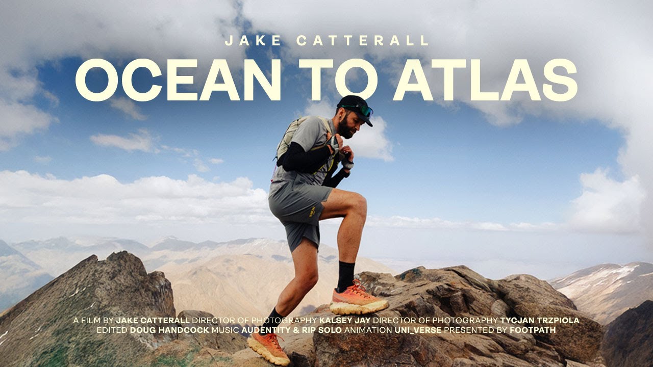
We teamed up with Jake Catterall to capture his recent quest to travel from the Atlantic coast of Morocco to the High Atlas Mountains, finishing at the summit of Mount Toubkal, the highest peak in North Africa at 4,167 meters. The 348 km route, which Jake built entirely in Footpath, climbs 13,652 meters and weaves together rugged trail and long stretches of road through a formidable landscape. Along the way, he battled extreme heat, high elevation, tricky crew vehicle logistics, and the constant need to manage water and salt intake.
Jake completed the journey in 4 days, 8 hours, and 27 minutes. It is now officially recognized on the Fastest Known Time website, making it fair game if you are feeling inspired to take a shot at his record.
Hit play and watch the Ocean to Atlas film to see how it all unfolded.
What can we learn from Jake’s Ocean to Atlas project?
1. Always have a backup route ready.
Jake’s original plan included sections that were uncertain in terms of access and trail conditions. Before setting out, he used Footpath to map a secondary version of the route and saved it in his routes folder. This meant his crew could pivot instantly if a road was closed, a trail was washed out, or a detour was required without losing time or relying on cell service.
2. Learn how to reroute on the fly (because not all hiccups can be predicted).
When conditions shifted mid-journey, Jake duplicated his route in Footpath and made quick adjustments based on what lay ahead. This allowed him to adapt without losing his overall mileage and elevation targets while keeping the route organized in one place.
3. Do not rely only on your GPS watch.
Over a multi-day effort, battery life becomes a serious concern. Jake had the entire route downloaded in Footpath for offline use. Even if his watch died or lost signal, he could pull up detailed mapping on his phone. More importantly, the app’s zoom function proved invaluable in the High Atlas where small trail junctions that would be hard to see on a small watch screen could determine whether he stayed on course.
4. Use mapping tools to see the big picture.
Before the attempt, Jake used Footpath’s elevation profiles and distance markers to plan daily targets, crew meeting points, and water resupply stops. By knowing exactly what each section would demand, he and his crew could prepare for the heat, steep ascents, and remote stretches with no services.
These tools, combined with careful preparation, helped turn an ambitious idea into a successful trek across the country of Morocco! We can’t wait to see what Jake does next.
Adventure starts with a map. Download Footpath and build yours today.