Footpath
User Guide Pricing
New Route
Login

elevation

Tips

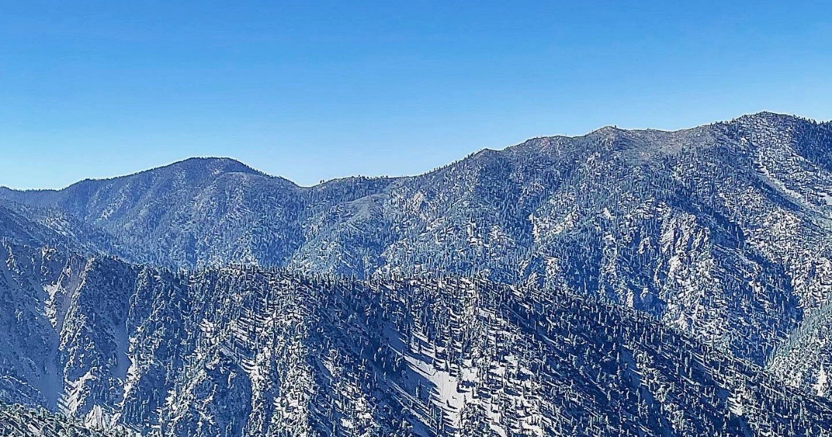
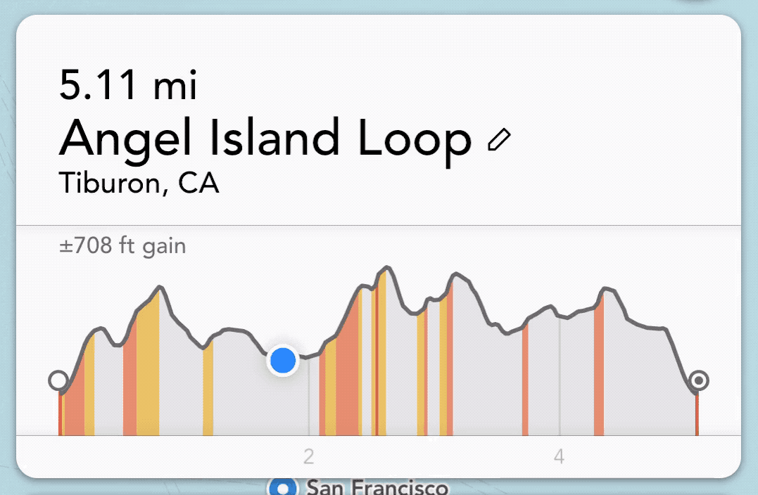
Stop obsessing over distance, start studying elevation

Everyone loves talking about miles logged. Whether you’re a runner, cyclist, or hiker, distance is the easiest metric to share and compare. It’s clean, simple, and usually earns a reaction like, “I don’t even like driving that far.” But while mileage looks impressive in a training log or calendar screenshot, it’s actually a poor predictor of how difficult a route will feel. If you’ve ever finished a workout thinking, “That was way harder than I expected,” the problem probably wasn’t the distance.

Release Notes

Improved elevation profiles

Footpath’s newest 4.1 update significantly improves the elevation profiles in the app, with pinch-to-zoom, color-coded slope analysis, and distance and elevation stats for any point along the route. Pinch-to-zoom You can now pinch and zoom in to the elevation profile graph to analyze a specific climb. You’ll be able to break down the distance, elevation gain and loss for just this climb. This is especially helpful on longer routes with multiple climbs or rolling hills.

App
  • Pricing
  • Blog
  • User Guide
  • FAQ
  • For Professionals
  • Email Support
Follow
  • Twitter
  • Instagram
  • Facebook
  • Press Kit
Download
  • Download on the App Store
  • Get it on Google Play
  • © 2025 Half Mile Labs LLC
  • Terms of Service
  • Privacy Policy
  • [email protected]