Contents
- Footpath Basics
- Route Planning
- Organization
- Saving routes
- Creating custom lists
- Editing saved routes
- Merging, duplicating, and splitting saved routes
- Maps
- Navigation
- GPS workouts & trips
- Recording a GPS track
- Logging a workout manually
- Apple Health
- Understanding GPS accuracy
- Syncing workouts with other services
- Import & Export
- Sharing
- Account Management
NOAA Nautical Charts Elite
View the legend for the NOAA Nautical map style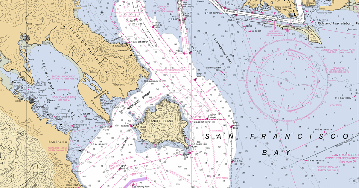
The NOAA Nautical map style is available to Footpath Elite users, and provides raster nautical charts for the coastal regions of the United States, including bathymetry and sea markers.
You can find the comprehensive offical legend to the chart symbols here.