Contents
- Footpath Basics
- Route Planning
- Organization
- Saving routes
- Creating custom lists
- Editing saved routes
- Merging, duplicating, and splitting saved routes
- Maps
- Navigation
- GPS workouts & trips
- Recording a GPS track
- Logging a workout manually
- Apple Health
- Understanding GPS accuracy
- Syncing workouts with other services
- Import & Export
- Sharing
- Account Management
Satellite Live Elite
View the legend for the Satellite Live map style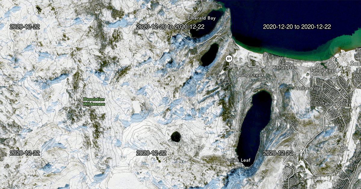
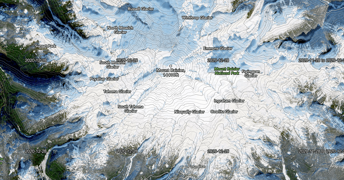
Satellite Live is a version of the Satellite Topo map style available to Footpath Elite users that displays near real-time, global satellite imagery from the Sentinel-2 satellite program.
These layers can be used when you need to monitor real-time conditions for an area, such as whether an area is snow covered or affected by a recent wildfire.
The maps are timestamped with the date the image was captured. It features the same contour lines and trail overlays as the Satellite Topo map style.
The maps come in 3 flavors:
Latest
The latest satellite images available and are typically updated once every 5 days. Depending on the weather at the time of capture, the images may be covered entirely by clouds.
Cloudless:
The latest satellite images available that were captured on mostly cloudless days. Certain areas and seasons are prone to more cloud coverage, and may contain older imagery.
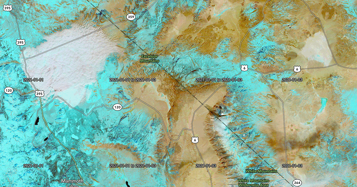
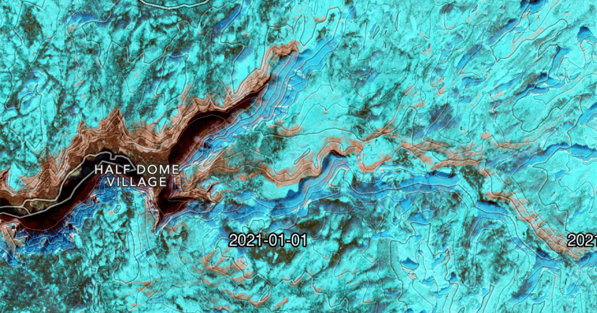
False-color:
These use infrared imaging to highlight particularly cold and hot spots in an image.
These can be used to distinguish snow and ice from other white parts of the image, such as clouds, rock, and sand. Snow and ice appear as a distinct blue color, as in the following examples: