Contents
- Footpath Basics
- Route Planning
- Organization
- Saving routes
- Creating custom lists
- Editing saved routes
- Merging, duplicating, and splitting saved routes
- Maps
- Navigation
- GPS workouts & trips
- Recording a GPS track
- Logging a workout manually
- Apple Health
- Understanding GPS accuracy
- Syncing workouts with other services
- Import & Export
- Sharing
- Account Management
Satellite NAIP Elite
View the legend for the Satellite NAIP map style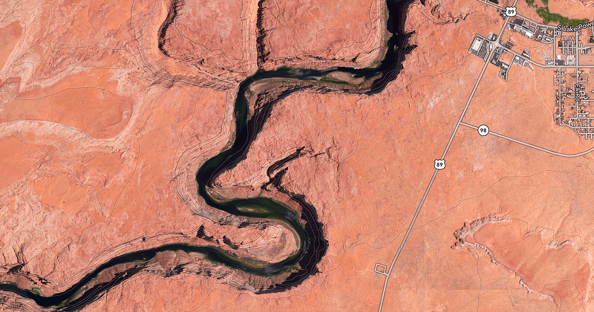
Satellite NAIP is a version of the Satellite Topo map style available to Footpath Elite users.
It features the same contour lines and trail overlays as the Satellite Topo map style, but uses high-quality cloudless aerial imagery of the United States from 2016-2018 sources from the National Agriculture Imagery Program (NAIP).
Try this map layer if you find the regular Satellite Topo maps to be out of date or obscured in your area.