Contents
- Footpath Basics
- Route Planning
- Organization
- Saving routes
- Creating custom lists
- Editing saved routes
- Merging, duplicating, and splitting saved routes
- Maps
- Navigation
- GPS workouts & trips
- Recording a GPS track
- Logging a workout manually
- Apple Health
- Understanding GPS accuracy
- Syncing workouts with other services
- Import & Export
- Sharing
- Account Management
Satellite Topo Elite
View the legend for the Satellite Topo map style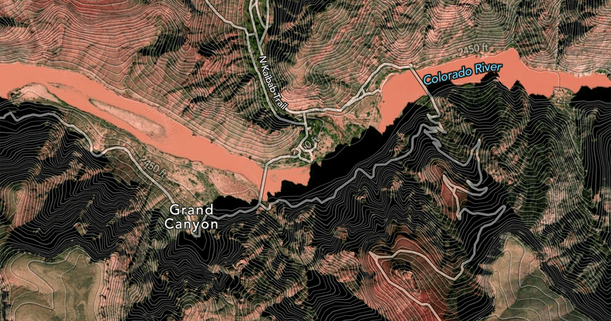
Satellite Topo is the primary satellite map style available to Footpath Elite users.
In addition to detailed satellite imagery, it shows contour lines in meters and feet, and overlays of roads, paths, and trails.
You may also be interested in other versions of the Satellite Topo maps:
- Satellite Live - near real-time, global satellite imagery
- Satellite NAIP - recent high-quality aerial imagery of the United States