Contents
- Footpath Basics
- Route Planning
- Organization
- Saving routes
- Creating custom lists
- Editing saved routes
- Merging, duplicating, and splitting saved routes
- Maps
- Navigation
- GPS workouts & trips
- Recording a GPS track
- Logging a workout manually
- Apple Health
- Understanding GPS accuracy
- Syncing workouts with other services
- Import & Export
- Sharing
- Account Management
Footpath Topo Elite
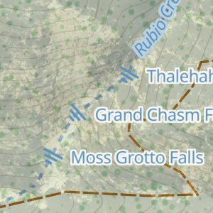
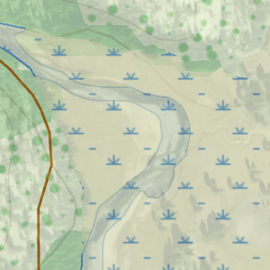
View the legend for the Footpath Topo map style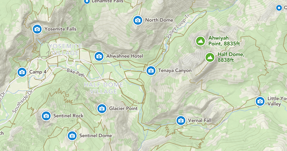
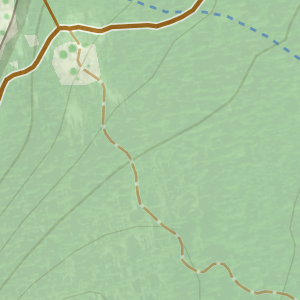
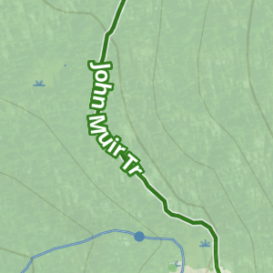
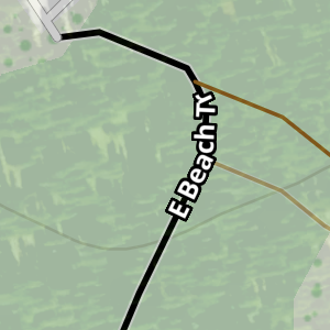
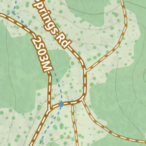
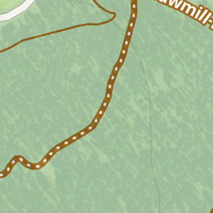
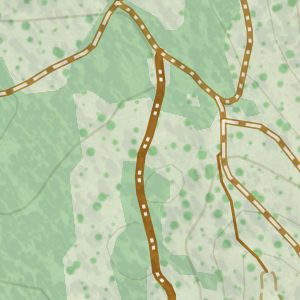
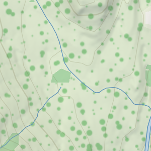
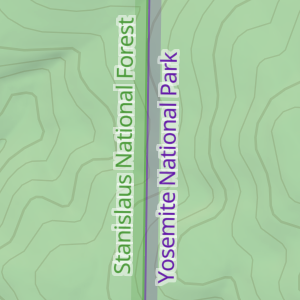
Footpath Topo is the primary map style available to Footpath Elite users. It features custom POIs, contour lines in meters and feet, detailed paths and trails, and hints of satellite imagery as you zoom into the map.
| Symbol | Meaning |
|---|---|
|
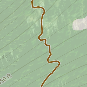
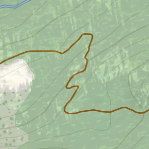
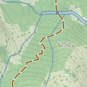
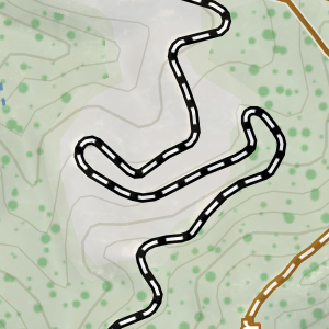
Unpaved path, named or official |
|
Unpaved path, unnamed |
|
Unpaved path, dashes indicate more technical, steep, or challenging in difficulty than a standard path |
|
Unmaintained path, unofficial, possible poor conditions or visibility |
|
Path part of a well known hiking route |
|
Climbing or mountaineering route, equipment and experience required |
|
Paved walkway or bike path |
|
Stairs |
|
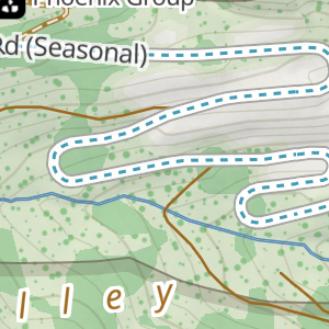
Unpaved road, average quality |
|
Unpaved road, poor quality, high-clearance required |
|
Unpaved road, worst quality, 4x4 only |
|
Paved road, no vehicles allowed, pedestrian access only |
|
Paved road, limited vehicular access |
|
Seasonal road, typically closed in winter |
|
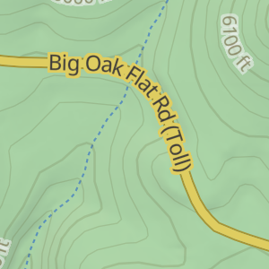
Toll road, requires payment |
|
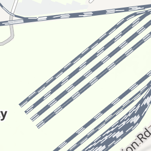
Railroads |
|
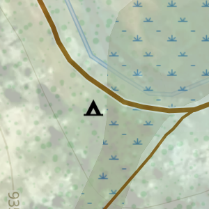
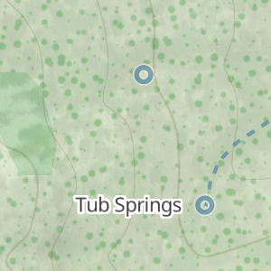
Campsite |
|
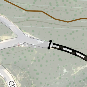
Gate, closed to vehicles |
|
Water crossing |
|
Waterfall |
|
Natural spring / running water |
|
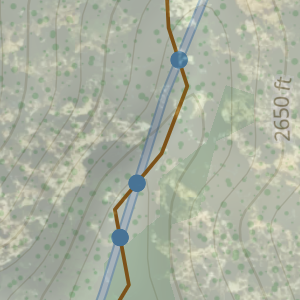
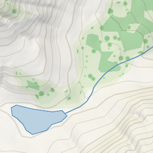
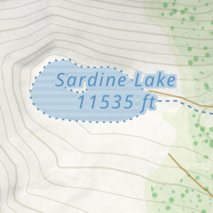
Lake and stream |
|
Intermittent / seasonal lake and stream |
|
Wetland |
|
Patchy tree cover / bushes |

|
Forest / full tree cover (green shading) |
|
Park / forest boundary |
You can further customize the Footpath Topo map style by with the following map overlays: