Contents
- Footpath Basics
- Route Planning
- Organization
- Saving routes
- Creating custom lists
- Editing saved routes
- Merging, duplicating, and splitting saved routes
- Maps
- Navigation
- GPS workouts & trips
- Recording a GPS track
- Logging a workout manually
- Apple Health
- Understanding GPS accuracy
- Syncing workouts with other services
- Import & Export
- Sharing
- Account Management
UK Public Rights of Way Elite
View the legend for the UK Public Rights of Way map overlay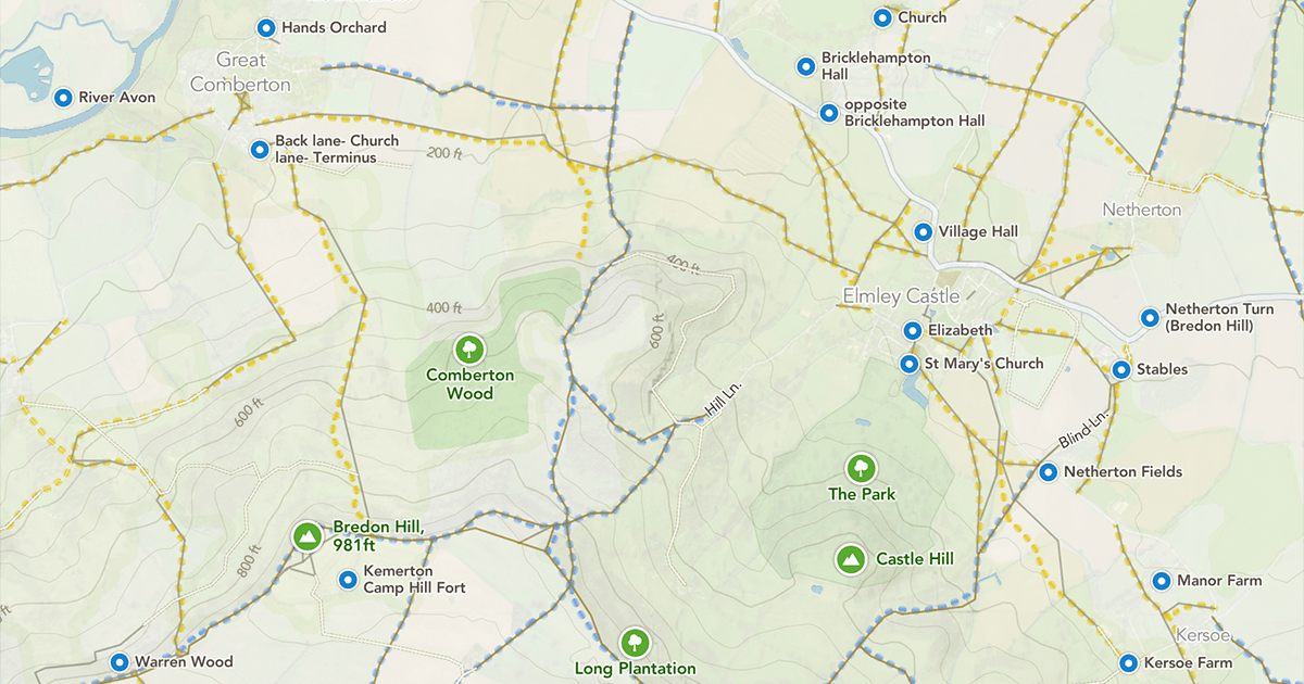
The UK Public Rights of Way overlay is available to Footpath Elite users using the Footpath Topo and Satellite Topo map styles.
Use this overlay to find designated public rights of way in the United Kingdom. These ways are sourced from local government councils in the UK.
You are legally allowed to access a public right of way. Public rights of way are not always well signposted and maintained, so please use caution and contact your local council if you discover any access issues.
The dashed lines indicating public rights of ways can vary in accuracy, particularly as you zoom in, and should be used as a rough guide. As a result, Footpath’s “snap to map” feature will only work on rights of way indicated with both a dashed highlight and a solid path line. If you see a dashed highlight but not an underlying solid line, you’ll need to manually trace out a path with your finger.
| Symbol | Meaning |
|---|---|
|
|
Footpaths: may be used only on foot and are usually signposted with a yellow arrow. |
|
|
Bridleways: may be used on foot, horseback, or bicycle and are usually signposted with a blue arrow. |
|
|
Restricted byways: may not be used by motorized vehicles. These are usually signposted with a purple arrow. |
|
|
Byways open to all: open to all traffic, including motorized vehicles. These are usually signposted with a red arrow. |